
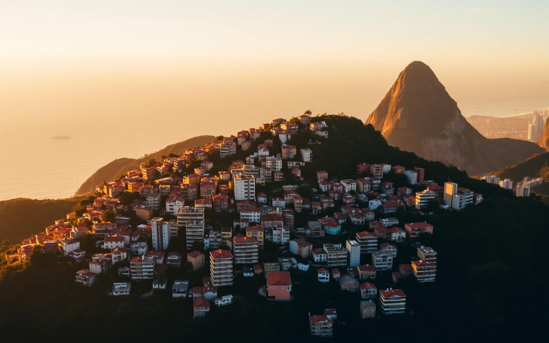
Babilônia & Chapéu Mangueira — Two Authentic Favelas With Rio's Finest Views
Above the quiet end of Copacabana, where Leme gives way to Sugarloaf, two communities share a single mountain: Babilônia and Chapéu Mangueira. They are neighbours, historical companions, custodians of the same music and nature projects — and home to around five thousand people who have preserved a very distinctive everyday culture in one of Rio's most expensive zones. This cornerstone guide is the most thorough English-language travel guide to both favelas: history, community, culture, nature, views, hikes and the practical tips you should really know before a respectful visit.
- Location
- Leme, Zona Sul
- Population
- ~ 5,000 total
- Founded
- Early 20th c.
- Reading time
- approx. 35 min.
Two names, one mountain, one view that takes in half the Zona Sul: Babilônia and Chapéu Mangueira are among Rio's oldest, quietest and most scenically striking favelas. They sit so close to Copacabana and Leme that many travellers walk past them for years without noticing. Look up, though, and you see them at once: colourful houses clinging to a green hillside, with the unmistakable silhouette of Sugarloaf rising between them. This guide explains why the two communities must be told together — and what a visit that does justice to the mountain's history and people looks like.
Why Babilônia and Chapéu Mangueira are viewed together
Babilônia and Chapéu Mangueira are two legally, historically and practically separate communities. But stand at the foot of the mountain and you see no dividing line: the houses grow into one another, the same staircases pass both communities, the same residents use the same bakeries and bus lines. Visiting only one of the two favelas means seeing only half the story.
The administration of the two communities has also been closely intertwined for decades. Neighbourhood associations coordinate joint festivals and safety matters, several environmental and cultural projects run under shared stewardship, and a number of the best-known viewpoint and hiking routes cross through both communities without a visible boundary. This is especially true of the reforestation work on the Morro da Babilônia and the public recreational offerings around the Parque Estadual da Chacrinha.
Tourism infrastructure is likewise conceived jointly: almost all established community tours feature not one but both favelas. Travellers on a booked tour walk back and forth between Babilônia and Chapéu Mangueira without even noticing the boundary. For the guides, this combination isn't marketing — it's lived practice.
Not least, the two communities share a cultural signature. The music scene, the cuisine, the way nature and neighbourhood are handled are all strikingly similar — differing only in nuances you notice once you've seen both. That's exactly why the double perspective is more rewarding than either one alone.
Where are the two favelas?
Babilônia and Chapéu Mangueira sit in the northern part of the Zona Sul, directly above the neighbourhood of Leme. Leme is the northern extension of the famous Copacabana bay — quieter, more residential, and more densely wooded than the rest of the coastline. The hill on which the two favelas stand is called the Morro da Babilônia and forms the natural transition to the range around Sugarloaf (Pão de Açúcar) and the Morro da Urca.
Walking north along the Avenida Atlântica, you can clearly see the mountain's silhouette against the sky. Just before the old Duque de Caxias fort, the climb into the communities begins. The most common access routes are:
- Praça Almirante Júlio de Noronha in Leme — the terminus for many bus lines and the safest starting point for walking into either community.
- Ladeira do Leme — the classic route up for motorcycles and community cars.
- Rua Almirante Cochrane — access to Chapéu Mangueira with views over the eastern side of Copacabana.
The Cardeal Arcoverde metro station in Copacabana is about 1.5 kilometres away. Uber and taxis reliably reach the foot of the mountain — getting into the community itself is traditionally done on foot or by moto-taxi, a community-specific service best used only with local knowledge.
An interactive map will soon be embedded here, showing both communities, access points, restaurants, viewpoints and the route of the Eco Trail.
Neighbourhood and surroundings
The location is strategic. Leme beach is a few minutes' walk away, and the northern end of Copacabana is ten minutes away. Sugarloaf is barely a kilometre and a half as the crow flies, which explains why the views from up here rank among the most spectacular in the city. On the other side, the hillside borders the Parque Estadual da Chacrinha, a protected nature reserve with dense secondary forest.
This combination — a quiet residential neighbourhood at your doorstep, a protected patch of forest at your back, Sugarloaf and the Atlantic in view — makes the location of the two favelas unique. Hardly any other community in Rio is so centrally located and yet so close to intact Mata Atlântica rainforest.
The history
To understand Babilônia and Chapéu Mangueira, you have to go back roughly 120 years — to a time when Rio de Janeiro was still Brazil's capital and Copacabana was a sparsely populated stretch of coast with a handful of villas. The history of the two communities is the history of a city that keeps growing, displacing and reorganising — and constantly renegotiating who gets to live where.
Origins in the early 20th century
The mountain's first permanent settlement dates to the 1900s. After the War of Canudos, numerous soldiers returned to the capital penniless, with no right to housing. Many settled on the hillsides closest to downtown. On the Morro da Babilônia, one of Rio's very first favelas took shape. From the same movement, a few years later and a few hundred metres along the hillside, Chapéu Mangueira grew as well.
Growth and urbanisation
In the 1930s and 1940s, the Zona Sul attracted growing numbers of migrants from Brazil's northeast. Copacabana became a world-famous beach resort, the Duque de Caxias fort was expanded militarily, and hotels, restaurants and villas sprang up on the streets below the mountain. Anyone working there — as a cook, a waiter, a construction worker, a housekeeper — needed affordable housing within walking distance. The two communities grew accordingly fast.
From the 1950s onward, brick and concrete houses replaced the first wooden shacks. Water and power networks were initially laid informally, later expanded with public support. Already in this period, the first neighbourhood associations (Associações de Moradores) emerged, campaigning for infrastructure and culture.
Global visibility — Black Orpheus
In 1959, the French film Orfeu Negro (Black Orpheus) by Marcel Camus hit cinemas. It won the Academy Award for Best Foreign Language Film and the Palme d'Or, and is still regarded as one of the most important films about Brazilian culture. Numerous scenes were shot in the alleys and on the terraces of Babilônia. International audiences got their first — if romanticised — glimpse of a Zona Sul favela.
Military dictatorship and eviction attempts
During the 1960s and 1970s, under military rule, favelas in the Zona Sul came under pressure. Various resettlement programmes sought to relocate communities to the Zona Oeste to make way for upscale housing. Unlike Praia do Pinto, which was burned down entirely, Babilônia and Chapéu Mangueira managed to resist eviction through local organisation, legal assistance and public pressure. This experience still shapes both communities' self-understanding today.
Pacification and the current situation
From 2009, Babilônia and Chapéu Mangueira became part of the UPP programme — so-called pacified communities with a permanent police presence. This phase brought noticeable calm, opened the communities up to tourism and encouraged small businesses, but it was always politically contested too. In recent years, community self-organisation has regained more weight. Today, Babilônia and Chapéu Mangueira live in a comparatively stable situation, which, as everywhere in Rio, can change at any time.
Reforestation and conservation
Alongside these developments, an environmental project emerged on the mountain that has drawn international attention. Already in the 2000s, a group of residents known as the Cooperativa dos Guias e Reflorestadores da Babilônia began replanting degraded hillside areas with native tree species. Tens of thousands of saplings have since been planted. The cooperative also runs the Eco Trail and creates jobs within the community.
Interactive timeline of both communities' history — from the first shacks of the early 20th century through Black Orpheus and the UPP era to today's Reflorestadores projects.
Babilônia in detail
History in brief
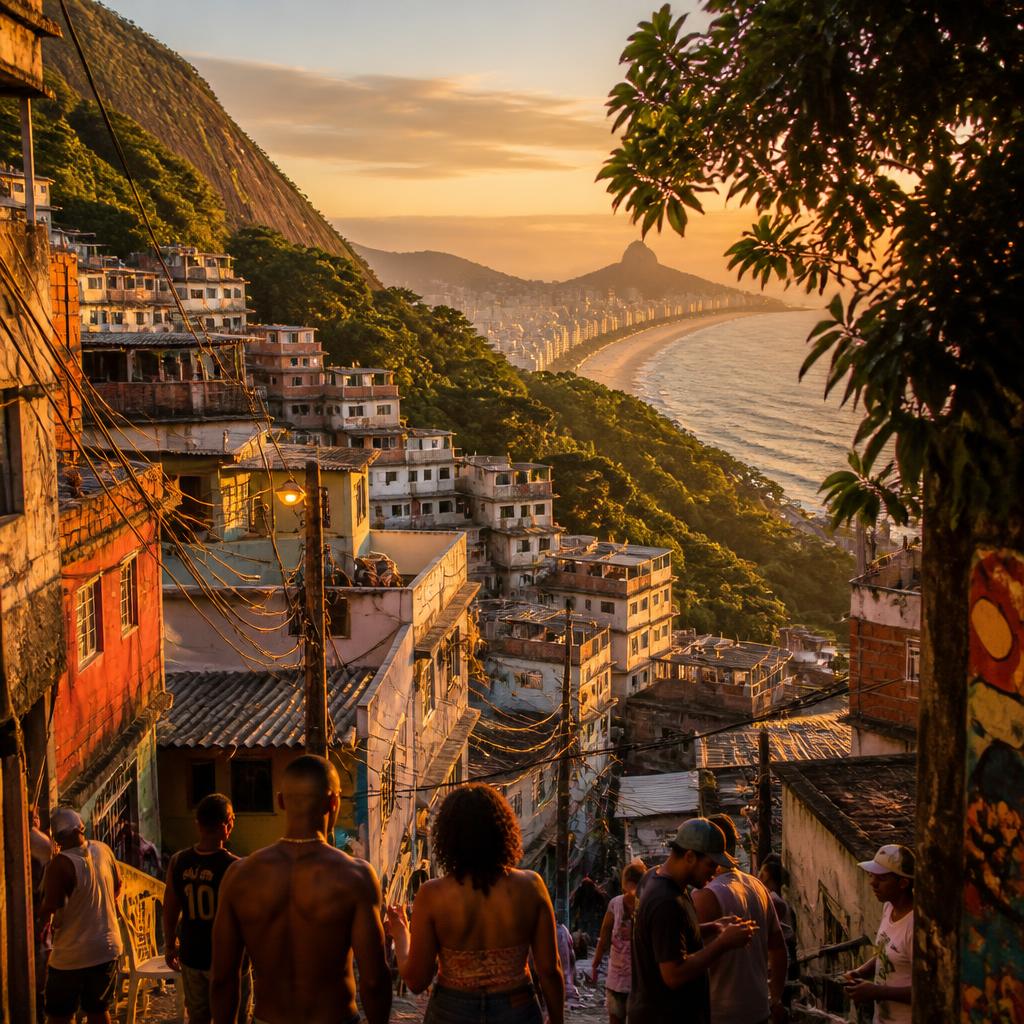
Babilônia is one of Rio's oldest favelas. Its name, according to tradition, harks back to biblical Babylon — a symbol of the diversity of people who settled here. The community grew alongside the migration waves of the 20th century and became internationally known through Black Orpheus.
Community
Around 4,000 people live in Babilônia today. The community is known for its strong cohesion and well-organised neighbourhood association. Cooperatives run environmental, cultural and education projects, and many women hold leadership roles. Visitors who behave respectfully are usually welcomed warmly.
Landmarks
- Mirante do Leme — the best-known viewpoint.
- Ruins of the Fortificação da Babilônia from the Second World War, hidden in the forest.
- A small community square in the middle of the favela, with murals and a concrete chessboard.
Nature
Babilônia borders directly on the Parque Estadual da Chacrinha and sits on one of the last remnants of Mata Atlântica rainforest in the Zona Sul. Capuchin monkeys, sloths, toucans and hummingbirds are regularly spotted. The Cooperativa dos Reflorestadores project has systematically reforested the hillside — a model that is now reported on internationally.
Views
The view from Babilônia is one of the finest in Rio. It stretches over Leme beach, the whole of Copacabana bay, Sugarloaf, Guanabara Bay and the open Atlantic. On a clear day, the silhouette of Christ the Redeemer is easily visible.
Restaurants
The best-known restaurant in Babilônia is Estrelas da Babilônia, halfway up the hillside with a terrace overlooking Leme. Alongside it are traditional botequins, community kitchens and small padarias (bakeries) serving both residents and visitors. Feijoada, moqueca and baião de dois are classics.
Culture
Babilônia has a deep connection to samba and samba de raiz (roots samba). On weekends, small bars and neighbourhood squares host rodas de samba — informal samba circles open to visitors. Murals by local artists line the walls along the climbs into the community.
Chapéu Mangueira in detail
History in brief
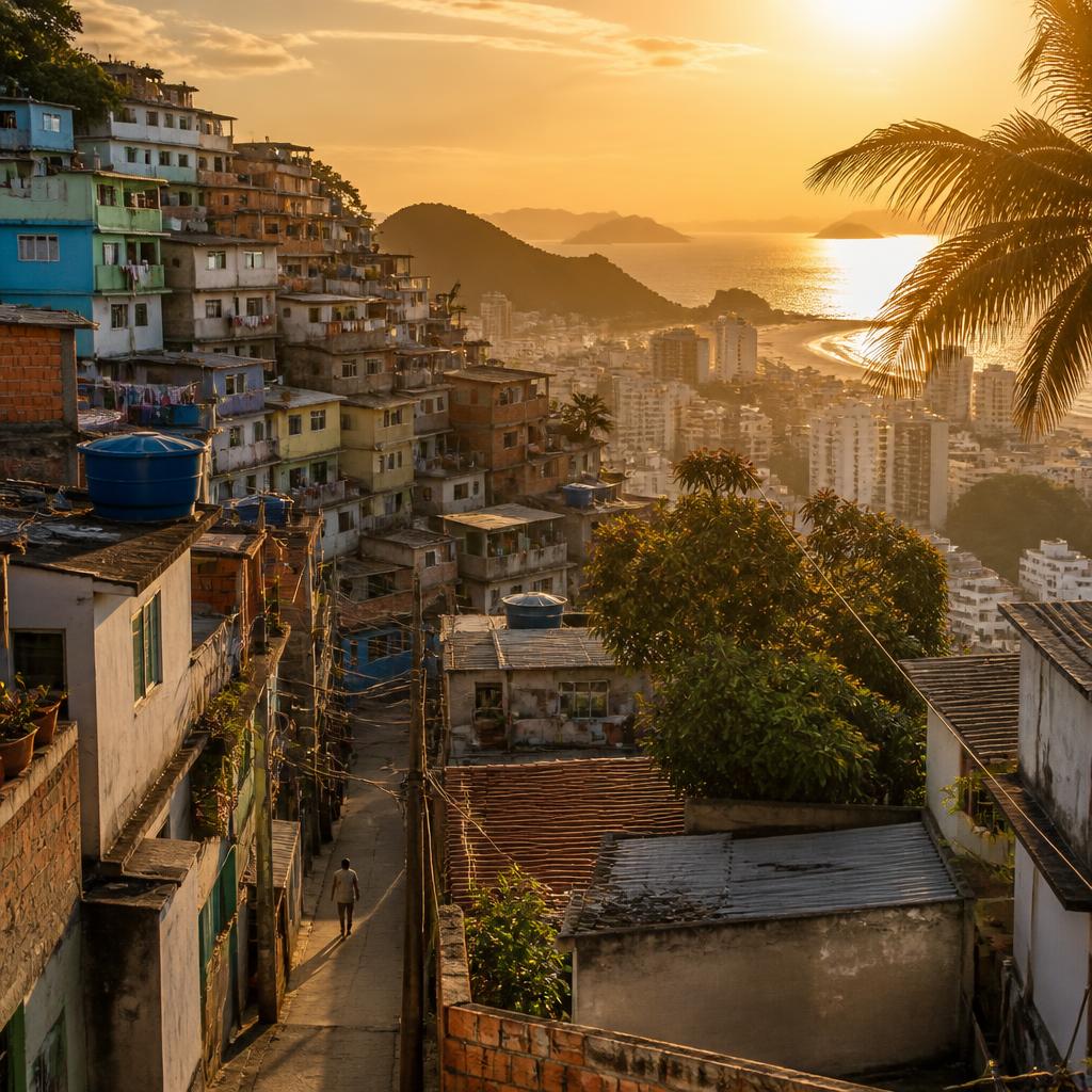
Chapéu Mangueira emerged a few years after Babilônia, on the same hillside. The community owes its name to the shape of its upper plateau and an old mango tree that served as a meeting point for decades. Here too, migration from the northeast, informal housing and the proximity to the growing Zona Sul shaped the early years.
Community
With around 1,000 residents, Chapéu Mangueira is the smaller of the two communities. It is considered very close-knit and family-oriented: many residents are related or have been neighbours for generations. Institutions such as churches, a community centre and an active Associação de Moradores shape social life.
Landmarks
- Bar do David — award-winning cuisine, an institution within the community.
- Upper plateau with views over eastern Copacabana and Botafogo bay.
- Murals by local artists along the main climbs.
Culture
Chapéu Mangueira is closely tied to Afro-Brazilian culture. Well-known musicians have come from the community, particularly from the samba and MPB (Brazilian popular music) scenes. Regular neighbourhood and cultural festivals make the community accessible to visitors without overshadowing daily life.
Food
Beyond the legendary Bar do David, there are further small restaurants and kitchens serving typical Brazilian fare. For visitors, this is an easy way to connect with the community's everyday life — and to support the local economy at the same time.
Views
The views from Chapéu Mangueira are comparable to those from Babilônia, but differ in detail: the outlook here leans more towards Ipanema and Sugarloaf, while Babilônia opens more towards Leme, Copacabana and Guanabara Bay. See both, and you experience two perspectives on the same coastline.
Learn more about Chapéu Mangueira →
What they have in common
Babilônia and Chapéu Mangueira share more than what sets them apart. Below are the key dimensions on which the two communities function as a single unit.
Community
Both communities are small, close-knit and family-oriented. Their neighbourhood associations work closely together, many cultural projects run jointly, and in everyday life the boundary between the two communities blurs.
Location
Both sit on the same mountain above Leme, with direct access to Copacabana. Both look out onto Sugarloaf, and both border the Mata Atlântica rainforest.
Nature
The hillside the two communities share is one of the last intact remnants of Mata Atlântica rainforest in the Zona Sul. Reforestation, conservation and the Eco Trail are shared projects.
Tourism
Community tourism in both favelas runs largely through the same guides and cooperatives. Classic walking tours combine Babilônia, Chapéu Mangueira and the Eco Trail into a single experience.
Culture
Musically, culinarily and in terms of local festivals, the two communities closely resemble one another. Samba, Afro-Brazilian traditions and a lively neighbourhood life are present on both sides of the mountain.
Views
Both offer spectacular views over Leme, Copacabana, Sugarloaf, Guanabara Bay and the Atlantic. In both communities, these views are part of daily life — at many windows, Rio doesn't begin at sunrise but at the first glimpse of the ocean.
What sets them apart
For all their closeness, Babilônia and Chapéu Mangueira differ in character, size and orientation. The following two tables summarise the main differences.
| Metric | Babilônia | Chapéu Mangueira |
|---|---|---|
| Population | ~ 4,000 | ~ 1,000 |
| Founded | Early 20th c. | Early 20th c. |
| Size | larger, more open layout | more compact, denser |
| Access | Praça Julio de Noronha, Ladeira do Leme | Rua Almirante Cochrane |
| Infrastructure | several small centres | one central plateau |
| Known for | Black Orpheus, Reflorestadores | Bar do David, music scene |
| Experience | Babilônia | Chapéu Mangueira |
|---|---|---|
| Atmosphere | calm, close to nature | close-knit, very dense |
| Landmarks | Mirante do Leme, fort ruins | Plateau, Bar do David, murals |
| Food | Estrelas da Babilônia, many padarias | Bar do David, small community kitchens |
| Nature | direct access to the Reflorestadores project | views over eastern Copacabana |
| Visitor numbers | somewhat higher, more organised tours | lower, quieter daily life |
| Highlight | Panoramic hike + Eco Trail | Cuisine + neighbourhood culture |
Nature
Few corners of Rio pack so much nature into such a small area as the mountain above Leme. For travellers who want rainforest by day and ocean by night, Babilônia and Chapéu Mangueira offer a rare combination.
Mata Atlântica
The Mata Atlântica rainforest once covered the entire Brazilian east coast. Today, only around twelve percent of its original extent survives, most of it fragmented. The hillside above Leme is one of these fragments — ecologically valuable precisely because it sits right by the sea and shelters species that have disappeared from less urban regions.
Trails
Within the communities and in the neighbouring Parque Estadual da Chacrinha, there are several trails of varying length. The best known is the Eco Trail Babilônia, which winds through the reforested areas. Another popular route is the climb to the upper plateau of the Morro da Babilônia. Both are easily manageable with local guides.
Plants
Characteristic tree species include ipê, pau-brasil, jequitibá and embaúba, alongside numerous bromeliads, orchids and ferns. The reforested areas are marked with signs explaining the main species.
Wildlife
Capuchin monkeys (micos), sloths, toucans, hummingbirds, iguanas, small snakes and numerous butterfly species are regularly seen. Morning climbs are especially rewarding for spotting birds and small mammals.
Conservation
Conservation on this hillside is a community achievement. The Reflorestadores cooperative has worked for roughly two decades to restore the forest, supported by scientific partners and the state environmental agency. Walking the Eco Trail directly supports this project.
The finest viewpoints
Mirante do Leme
The most important and best-known viewpoint shared by both communities. It sits halfway up the mountain and opens onto Leme beach, the whole of Copacabana bay, the Duque de Caxias fort and the Atlantic. Early morning and the final hour before sunset bring the most striking light.
Upper plateau of the Morro da Babilônia
Those who make the short hike to the summit are rewarded with a 360-degree view: Sugarloaf close enough to touch, Guanabara Bay to the north, Corcovado with Christ the Redeemer inland, and Copacabana with the open ocean to the south. Among the trees lie the ruins of the military Fortificação, dating back to the Second World War.
Views over Copacabana
From numerous terraces along the climbs into both communities, the view opens onto Copacabana's distinctive arc — with the wave-patterned Avenida Atlântica and the coastline stretching to Arpoador. These views are free and open to everyone.
Sugarloaf
Few favelas have Sugarloaf so close at hand as Babilônia and Chapéu Mangueira. From the upper plateau, the famous peak feels almost like an extension of the hill itself. For those who want to experience it without the cable car queues, this is the quietest perspective available.
Guanabara Bay
On the northern side of the mountain, the view opens onto Guanabara Bay — with naval ships, ferries to Niterói, and the silhouette of the Serra dos Órgãos mountains on the horizon.
Christ the Redeemer
From several points, the Corcovado and Christ the Redeemer are clearly visible. The view is most striking on clear winter days, when the outlines stand out especially sharply.
Coming soon: aerial video and photos of both communities, the mountain and the viewpoints — with community permission and in collaboration with local filmmakers.
Hiking
The hike up the Morro da Babilônia is one of the finest short outings in the city. It starts in one of the two communities, passes through the remnants of Mata Atlântica rainforest, and ends on a panoramic plateau overlooking Sugarloaf, Guanabara Bay and Copacabana.
Trails
- Trilha Babilônia (classic route) — starts in the upper section of Babilônia, climbs a clearly visible footpath, with several viewpoints along the way.
- Trilha Chapéu Mangueira — a parallel route with a similar destination but a slightly different perspective.
- Eco Trail — shorter, focused on reforestation and natural history.
Duration
The classic hike takes 45 to 90 minutes going up and 30 to 60 minutes coming down, depending on pace. If you want time for photos and breaks, plan for two to three hours in total.
Difficulty
The route ranks easy to moderate. It's mostly unpaved, partly rocky, and can be slippery when wet. Elevation gain: around 250 metres. Anyone of average fitness will manage it comfortably.
Tips
- Start early in the morning — cooler, less sun, better visibility.
- Postpone the hike in heavy rain.
- Go with a local guide — not just for safety, but for the natural history too.
- Leave nothing behind, take no plants, don't feed the animals.
Gear
- Sturdy shoes with good grip
- At least 1.5 litres of water per person
- Sun hat or cap, sun protection
- Insect repellent
- A small backpack, phone, cash
- Rain protection during the wet season
A graphic of the elevation profile between the start at Praça Almirante Júlio de Noronha and the plateau of the Morro da Babilônia — with stages, viewpoints and rest spots.
Culture
Music
Both communities maintain a close relationship with samba. Well-known singers, instrumentalists and composers have come, and continue to come, from Babilônia and Chapéu Mangueira. On weekends, small bars host rodas de samba, open circles of live music. To take part respectfully, listen, have a drink, and don't film.
Street art
Many façades along the climbs feature murais by local artists: portraits of historical figures, Afro-Brazilian symbolism, nature motifs. Some walls are regularly repainted — in both communities, the alley doubles as an open-air gallery.
Community
Through neighbourhood associations, churches, community radio stations and cultural centres, residents organise a dense network of mutual support. For visitors, respecting this network matters: those who are guided move within it without disrupting it.
Events
Joint festivals for Carnival, São João, Christmas and the communities' anniversaries mark the yearly rhythm. Smaller events such as art exhibitions, film screenings and sports tournaments also take place regularly.
Local initiatives
Beyond the Reflorestadores, there are numerous smaller projects: language courses, music schools, sports clubs, art workshops for children and teenagers. Many of these initiatives rely on donations and volunteer work — a good starting point for travellers who want to give something back.


Sustainable tourism
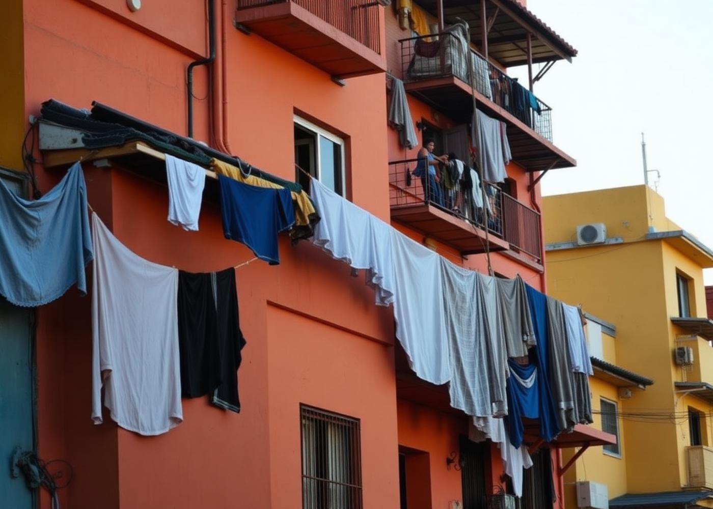
Sustainable tourism in a favela means, above all, that the community decides on what terms it is visited. Following that principle leaves a positive impression — and an economic contribution as well.
Visiting respectfully
Greet people warmly, keep your voice down, follow your guide's instructions, and respect homes and privacy. Remember: what looks like scenery to you is everyday life for the people who live there.
Supporting local businesses
Eat at the community restaurants, buy drinks at the corner kiosk, book guides directly from the community. That way, your money stays where it has the greatest impact.
Avoiding waste
Take your rubbish back down with you, bring a reusable water bottle, skip the plastic straws. On the trail, the rule is: leave nothing, take nothing.
Respecting privacy
Homes, courtyards and children are private, not photo subjects. If you're unsure whether something is okay to photograph, ask your guide — or simply don't.
Photographing responsibly
Panoramic shots are generally unproblematic. Only photograph people with clear consent. Avoid staging scenes that feel exotic to you but are simply everyday life for residents. The community is not a backdrop for a travel selfie.
Safety
Babilônia and Chapéu Mangueira are considered comparatively calm in their tourist-established areas during the day. Still, Rio's security situation is dynamic. It can change within weeks, depending on political circumstances, police operations and internal developments. Check with your accommodation or a local guide before your visit.
Behaviour recommendations
- Visit the communities during the day and with a local guide whenever possible.
- Don't display valuables openly.
- Only bring large cameras with your guide's knowledge or consent.
- Stick to known paths and follow your guide's instructions.
- Never photograph anyone without asking.
- Avoid discussing politics, police or crime openly within the community.
- Drink alcohol in moderation.
Respectful conduct
Residents of both communities are open, friendly and welcoming — as long as their spaces are respected. A friendly bom dia, eye contact when greeting, holding a door for someone else — small gestures like these count for more than you might think.
Orientation
The alleys are narrow, winding and rarely signposted. If you're going without a guide, stick to the main paths and always know where the nearest exit to the square in Leme is. Google Maps only works to a limited extent here.
Photography
Landscape shots are generally fine. As a rule, never photograph people, children, private spaces, or anything involving police or security. If someone asks you to delete a photo, do so without discussion.
Note: Rio's security situation can change at any time. Check current assessments from your accommodation, your guide and official sources shortly before your trip.
Restaurants and cafés
Local cuisine
The cuisine of both communities follows the traditions of northeastern and southeastern Brazil. Classics include feijoada (black bean stew with meat), moqueca (fish stew with coconut milk and palm oil), baião de dois (rice with beans, cheese and dried meat), arroz de camarão (shrimp rice) and a wide range of petiscos — small snacks served with beer.
Recommendations
- Bar do David (Chapéu Mangueira) — a community institution, award-winning feijoada and seafood, excellent value for money.
- Estrelas da Babilônia (Babilônia) — a restaurant with a terrace and views over Leme, contemporary Brazilian cuisine.
- Small community kitchens — found throughout the climb, often open only for lunch, with particularly authentic food.
- Botequins and padarias — for cafezinho (Brazilian coffee), pão de queijo (cheese bread), and cold drinks.
Cafés and bars
Both communities have several small bars that become gathering spots in the evening. If you want a beer or some music, you'll find company quickly — especially in the company of a local guide.
Practical information
Getting there
The easiest starting point is Praça Almirante Júlio de Noronha in the Leme neighbourhood. It is well connected by bus (several lines), metro (Cardeal Arcoverde in Copacabana, plus a 20-minute walk) and Uber/taxi. From there, you continue on foot or with a local guide into the communities.
Best time to visit
April to October are the climatically most pleasant months: cooler, drier, with better visibility. The best time of day is early morning or the late afternoon hours before sunset.
Duration
For a respectful first visit, plan at least half a day. If you want to walk the Eco Trail, eat at a restaurant and take in both communities at a relaxed pace, allow for a full day.
What to wear
Comfortable, closed shoes with good grip, breathable clothing, a sun hat and sunscreen. For the trail and hike, light long trousers and light rain protection during the wet season.
Payment
Cards are usually accepted at larger restaurants. Small shops rely on cash (BRL) or Pix, Brazil's widespread instant payment system. Bring small change where possible.
Language
Portuguese is spoken. English works in places; other languages are rare. Basic Portuguese phrases and a translation app help enormously.
Internet
Mobile internet works well in the lower areas and gets progressively weaker higher up. Wi-Fi is available at some restaurants. For maps and translations, prepare offline in advance.
A compact, printable PDF map with access points, viewpoints, restaurants and the trail route.
Coming soon: a short video report from both communities, featuring voices from the neighbourhood and footage along the Eco Trail.
Original photos from Babilônia and Chapéu Mangueira, captured across different seasons and times of day.
First-hand accounts from travellers who have visited the two communities — with tips, observations and recommendations.
Frequently asked questions
›Which favela is more beautiful, Babilônia or Chapéu Mangueira?
There is no objective answer. Babilônia feels a little more open and is more closely tied to the reforestation project on the mountain. Chapéu Mangueira is more compact, steeper, and has a very tight-knit neighbourhood atmosphere. Both share the same hill and are best explored together.
›Should I visit both favelas?
Yes. Babilônia and Chapéu Mangueira are linked by shared alleys and staircases, and many guided tours cover both communities. Visiting only one means missing half the story of the mountain.
›Can I see both in one day?
Absolutely. Half a day is enough for a first walk through both communities including the Mirante do Leme viewpoint. If you also want to walk the Eco Trail and eat at one of the restaurants, plan for a full day.
›How do I get there?
The easiest access point is Praça Almirante Júlio de Noronha in the Leme neighbourhood. From there, streets and staircases lead into both communities. Cardeal Arcoverde metro station in Copacabana is about a 20-minute walk away, and Uber and taxis reliably reach the foot of the hill.
›Is a guide worthwhile?
For a first visit, definitely. A local guide opens doors, knows the right paths, explains history and daily life firsthand, and makes sure income stays within the community. For the Eco Trail and the hike, a guide is close to essential.
›How long does a tour take?
Classic community tours last two to four hours. Combinations of a walking tour, the Eco Trail and lunch can stretch to six or eight hours.
›How safe are Babilônia and Chapéu Mangueira?
Both communities are considered comparatively calm in their tourist-established areas during the day. Rio's security situation can, however, change at short notice. Check the current situation with your accommodation or a local guide before heading up.
›Do I need to speak Portuguese?
Basic knowledge helps a great deal. English is understood in places; other foreign languages rarely are. Polite phrases, a translation app and a friendly manner will see you through most situations.
›Can I go up without a guide?
The lower sections and the approach to the Mirante do Leme can be walked independently with some preparation. For the Eco Trail, the hike up the Morro da Babilônia and anything beyond the main paths, we recommend going with someone from the community.
›What is the Mirante do Leme?
A viewpoint halfway up the mountain, opening onto Leme beach, Copacabana, Sugarloaf and the Atlantic. It ranks among the most beautiful freely accessible panoramas in Rio.
›What is the Eco Trail Babilônia?
A nature trail built by the community itself. It winds through the reforested areas and remaining Mata Atlântica rainforest on the mountain and is usually walked with guides from the local Reflorestadores cooperative.
›What is Bar do David?
A community restaurant in Chapéu Mangueira that has won multiple awards for its feijoada and moqueca. It is considered the best address for visitors wanting classic Brazilian food.
›What is the Parque Estadual da Chacrinha?
A state-protected nature park right on the mountain. It safeguards one of the last remnants of Mata Atlântica rainforest in the Zona Sul and can be explored via small trails.
›When is the best time to visit?
April to October brings drier weather and more pleasant temperatures. November to March is high season, with intense heat and frequent afternoon showers.
›What should I wear?
Comfortable, sturdy shoes with good grip, breathable clothing, a sun hat and sun protection. For the trail and hike, light long trousers and enough water.
›Can I take photos in the favelas?
Landscape and panoramic shots are generally fine. Please only photograph people, children and private homes with explicit consent. If someone declines, that decision is final — no discussion.
›Is accommodation available?
Both communities have small, family-run guesthouses and pousadas. They tend to be simply furnished, but ideal for travellers who want to experience daily life up close.
›Can I pay by card?
Yes, in larger restaurants. Small shops usually accept only cash (BRL) or Pix. Bring small change where possible.
›How do these two favelas differ from Rocinha or Vidigal?
Rocinha is far larger, with over 100,000 residents, while Vidigal is better known for its views and music scene. Babilônia and Chapéu Mangueira are smaller, quieter and more strongly shaped by nature and neighbourhood projects.
›What does the name Chapéu Mangueira mean?
Literally, "hat-mango." The community owes its name to the shape of its upper plateau and an old mango tree that served as a meeting point for decades.
›Where does the name Babilônia come from?
It refers to the biblical image of multilingual Babylon — a nod to the diversity of people who settled on the mountain in the early 20th century.
›Are there guided tours in English?
Occasionally, through specialised operators. Tours are more commonly offered in Portuguese, with English available on many. Bilingual guides can often be arranged on request.
›What behaviour should I be aware of?
Greet people warmly, follow your guide's instructions, only photograph people with consent, respect privacy and living spaces, avoid discussing crime or politics in public, and don't display valuables openly.
›What should I do in an emergency?
In Brazil, dial 190 for police or 192 for ambulance services. Your accommodation, your guide or neighbours will help in a genuine emergency. Keep your accommodation's address on hand.
›Are Babilônia or Chapéu Mangueira wheelchair accessible?
No. Both communities are steep, with narrow alleys and many staircases. Visits are only possible in a limited way for people with reduced mobility, mostly in the lower areas and with a local companion.
›Why is it worth visiting at all?
Because these two favelas offer one of the most authentic, calmest and most scenically striking corners of the Zona Sul. Visiting with respect and time reveals a side of Rio that otherwise stays hidden — while also supporting the community.
Conclusion
Babilônia and Chapéu Mangueira are two of the most authentic communities in the Zona Sul. They share a mountain, a history, and a web of neighbourhood ties that outweighs any administrative border. Visit them, and you see two perspectives on the same coastline — and a Rio that usually stays invisible beyond Copacabana and Ipanema.
The best way to get to know these communities is a respectful visit: with a local guide, time for conversation, a meal at a community kitchen, a walk to the Mirante do Leme, and a hike up the Morro da Babilônia. Come this way, and you leave differently: with a deeper understanding of the city, with images no postcard captures — and with the confident feeling that your visit has done more good than harm.
That's exactly the idea behind this guide: providing knowledge that does justice to you and to the communities. If you'd like to keep researching, our favela overview covers all seven communities documented on Inside Favela — and the magazine offers further reportage and background stories.